Precision Surveying for East Africa
Since 2010
Professional surveying services across Kenya, Uganda & South Sudan
Our Surveying Services
Comprehensive geospatial solutions powered by cutting-edge technology and decades of expertise across East Africa
Topographical Surveys
Topographical Survey Kenya
Accurate land mapping for infrastructure, agriculture, and urban planning
- 3D Terrain Modeling
- Contour Mapping
- Digital Elevation Models
- Infrastructure Planning
Cadastral & Land Titling
Cadastral Survey Services Nairobi
Secure property boundaries with legally compliant surveys
- Property Boundary Surveys
- Land Title Support
- Legal Documentation
- Dispute Resolution
GIS & Remote Sensing
GIS Mapping Company East Africa
Data-driven spatial analysis for smarter decisions
- Satellite Imagery Analysis
- Spatial Database Creation
- Environmental Monitoring
- Urban Planning
Engineering Surveys
Engineering Survey Kenya
Precision measurements for roads, water systems, and airports
- Road Design Surveys
- Airport Mapping
- Utility Mapping
- Construction Layout
Need a Custom Survey Solution?
Our expert team can design a surveying approach tailored to your specific project requirements
Our Project Portfolio
From major infrastructure developments to conservation projects, we've delivered precision surveying across East Africa

Mombasa Port Expansion Survey

US Embassy Security Perimeter
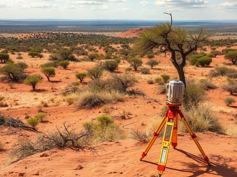
Tsavo National Park Conservation

JKIA Runway Extension Survey
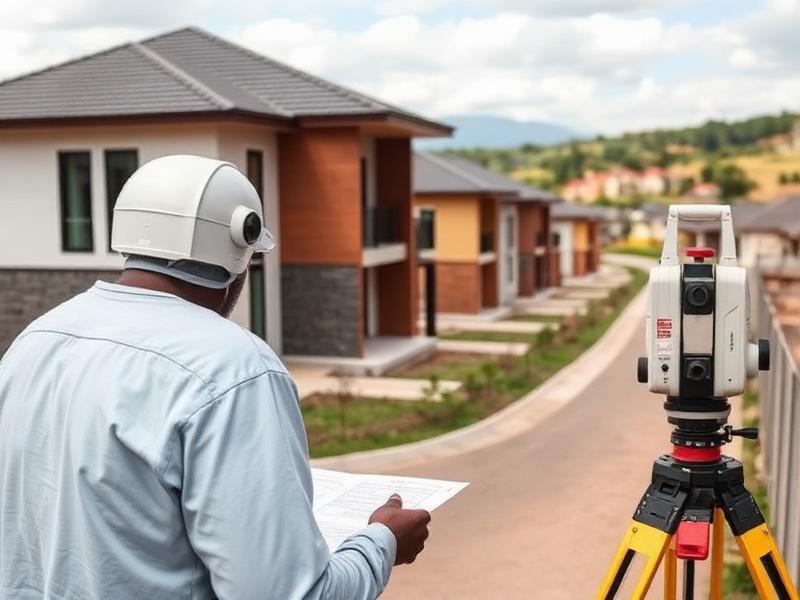
Gigiri Housing Development
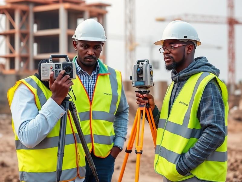
Kampala Urban Planning
Trusted by Leading Organizations
From international organizations to government agencies and private developers, our clients rely on our expertise for their most critical projects
United Nations
International Organizations
US Embassy Nairobi
Diplomatic Missions
Kenya Airports Authority
Aviation
Kenya Wildlife Service
Conservation
Kenya Ports Authority
Maritime
Stima Housing Investment Sacco
Financial Services
Sheria Housing cooperative
Real Estate
Pan African Properties
Development
Kampala Capital City Authority
Government
Chai Diamond Investment Sacco
Investment
Cooperative Bank Housing Society
Housing
Lukenya Ranching
Farming
Utabibu Sacco
Financial Services
Kenya African Traders Farmers Union(KANTAFU)
Investment
GT Investments
Financial Services
What Our Clients Say
Survtech Kenya Limited's precision and attention to detail saved us 3 months on the Gigiri site survey. Their team delivered exactly what we needed for our development timeline.
David Kimani
Project Manager
Pan African Properties
The topographical surveys for our airport expansion were completed with exceptional accuracy. Survtech Kenya Limited's expertise in aviation projects is unmatched in East Africa.
Sarah Mwangi
Senior Engineer
Kenya Airports Authority
Working with Survtech Kenya Limited on our conservation mapping project was seamless. Their GIS capabilities and understanding of environmental requirements exceeded our expectations.
Dr. James Muturi
Conservation Director
Kenya Wildlife Service
Ready to Start Your Survey Project?
Get in touch with our expert team for a free consultation and project quote. We're here to help bring precision to your next development.
Get Your Free Project Consultation
Fill out the form below and we'll get back to you within 24 hours
Our Office
Kimathi House, along Kimathi Street
7th Floor, suite 701
Nairobi, Kenya
Central Business District Location
Phone
0720277961
info@survtech.co.ke
Business Hours
Monday - Friday: 8:00 AM - 4:00 PM
